Belize
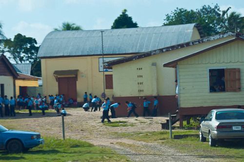
Eight grades of schooling are mandatory for the children of Belize. Each school has their unique uniform. If someone plays hooky, everybody knows what school they should be attending. English is the predominate language.
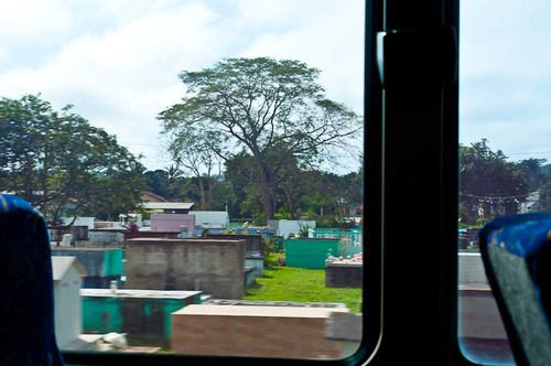
According to our guide, Belize has the only highway in the world that goes through a cemetery.
The highway also went through the Jaguar Corridor. A place where jaguars can pass safely and unharmed.
The highway also went through the Jaguar Corridor. A place where jaguars can pass safely and unharmed.
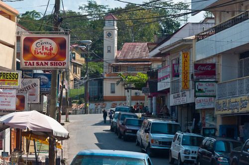
After our visit to Xunantunich, we stopped in the town of San Ignatio in the scenic Cayo district for a Belizian lunch of rice and beans, stewed chicken, coleslaw and fried plantains.
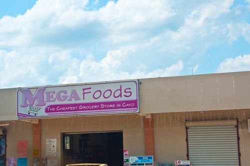
This is a quick shot from the moving bus showing one of the many grocery stores in the Cayo district. This one obviously has the best prices.
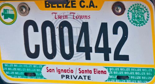
On February 13, 2013 we visited Belize. Our cruise ship anchored off the coast near Belize City. We were tendered to the port where we took a 7 hour excursion to the Mayan ruins of Xunantunich (pronounced: shoo-nan-two-nich).
Far left are some of the highlights of our bus ride to and from the ruins.
Below are some images and discussion of Xunantunich.
Far left are some of the highlights of our bus ride to and from the ruins.
Below are some images and discussion of Xunantunich.
Xunantunich
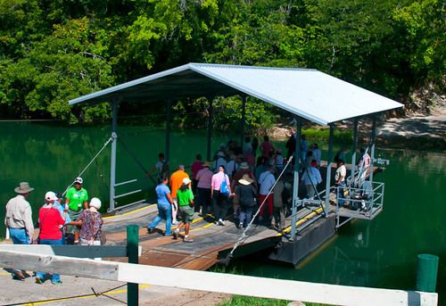
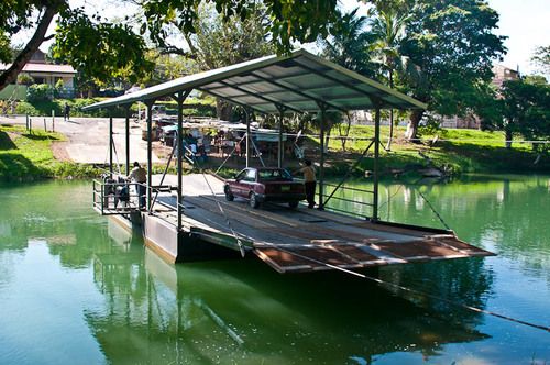
After a 2 hour bus ride, we took a 19th century hand-pulled ferryboat to cross the Mopan River to view the ruins. The boat can take up to 4 vehicles or a bunch of people.
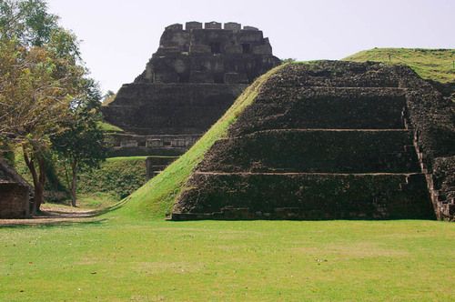
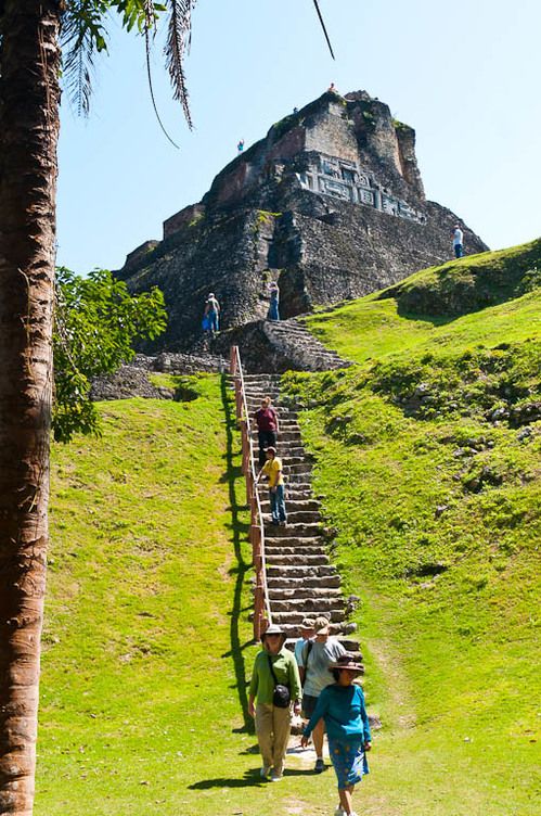
This is the most architecturally significant ruins in Belize, as it features one of the tallest and intricately sculptured structures - the temple of El Castiilo.
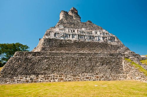
The banner at the top of this page shows the sculpture on the west sice of El Castillo. This is an image of the east side. Time has destroyed the north and south sculptures.
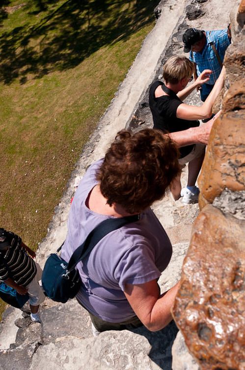
At this point we are 2/3 the way up the structure.
At this point we are 2/3 the way up the structure.
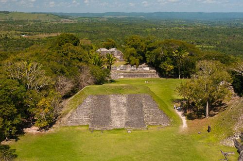
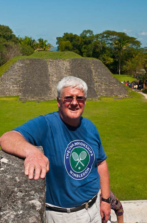
View from the top of El Castillo looking north. From the top you can see Guatemala, which is only 2 miles west.
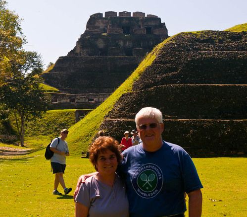
Below are photos of us prior to the climb, on the way up and the way down.
Below are photos of us prior to the climb, on the way up and the way down.
